Start with the deliverable
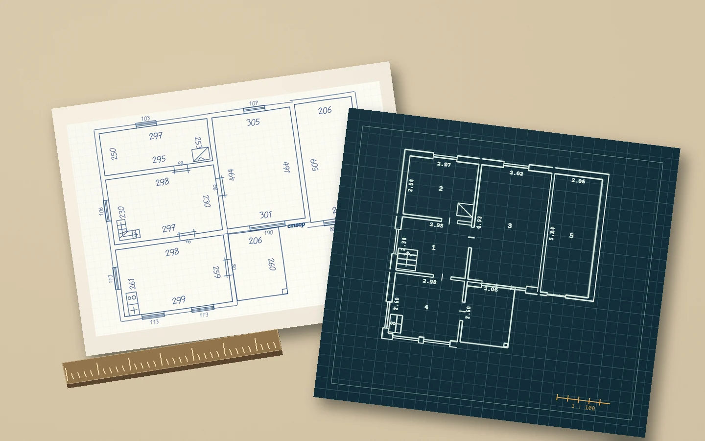
For an existing-conditions floor plan of an accessible apartment, list the rooms, walls, openings and other features you need to record. Direct measurements with a sketch may cover that scope. For a coordination brief with complex surfaces, high ceilings or many spatial relationships, a scan can provide a richer starting dataset. Define the measurement tolerance and any required coordinate reference with the person commissioning the work.
A field sketch records selected measurements and their endpoints. You decide which features are significant and translate the observations into plan geometry. The immediate QA is a second span, a diagonal or a repeated reading while the object is still accessible.
What LiDAR and SLAM contribute
LiDAR measures distance to visible surfaces using light. Depending on the capture system, measurements can be assembled into a point cloud or interpreted into a room model. Apple’s RoomPlan, for example, uses camera and LiDAR inputs and creates a parametric room representation with dimensions.
SLAM is simultaneous localisation and mapping. A moving device estimates its trajectory while building a map. An implementation such as Google Cartographer uses loop closure to constrain drift by matching observations from areas revisited during a survey. Capture coverage still depends on the path and which surfaces the device can see.
Compare the handoff before choosing
A survey result has to fit the next step. If the recipient needs a dimensioned 2D drawing, budget time to turn the observations into wall lines, openings and dimensions. A dense scan works best with a planned path and coverage checks. Direct measurements work best when the sketch records every feature and reference that the drawing needs.
You can combine the two methods. Start with a scan for context, then check one long span, a clear opening width and an angled room diagonal with a separate instrument. Obmero’s inputs are photos and scans of field sketches, multipage PDFs and saved project JSON. Enter verified measurements in the editor to produce a measured 2D plan.
- Specify the output, coordinates and accepted uncertainty before selecting a method.
- Record inaccessible areas and any dimensions that need a manual check.
- Measure independent controls and compare them with the delivered CAD geometry.
Questions and answers
Can I import a laser point cloud into Obmero?
Obmero accepts field sketch images, multipage PDFs and its project JSON. A point cloud needs to be processed in its own survey or CAD workflow. Verified dimensions from it can inform an Obmero plan.
Does SLAM replace a control dimension?
Capture an independent check span even when you use SLAM. The check helps establish whether the resulting plan meets the survey brief.
Sources
Related guides
- How to photograph a field sketch for a floor planCapture a legible measured sketch, organise multi-page PDFs by floor and check the digital plan against your site measurements.
- Building measurement checklist for an existing floor planRecord wall lengths, opening positions, recesses and independent checks before you turn a measured survey into an existing floor plan.